Category:Jammu and Kashmir District Maps
Jump to navigation
Jump to search
Media in category "Jammu and Kashmir District Maps"
The following 18 files are in this category, out of 18 total.
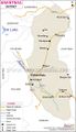 Anantnag-district-map.jpg 600 × 1,040; 107 KB
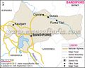 Bandipore-district-map.jpg 600 × 479; 71 KB
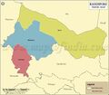 Bandipore-tehsil-map.jpg 800 × 700; 188 KB
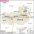 Baramula-district-map.jpg 600 × 600; 77 KB
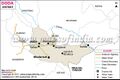 Doda-district-map.jpg 600 × 401; 50 KB
 Ganderbal-district-map.jpg 600 × 443; 50 KB
 Jammu and Kashmir1.jpg 734 × 645; 167 KB
 Jammu-district-map.jpg 600 × 421; 67 KB
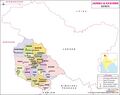 Jammuandkashmir-district-map.jpg 800 × 631; 79 KB
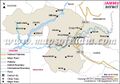
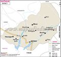 Kathua-district-map.jpg 600 × 567; 70 KB
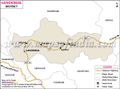
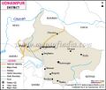
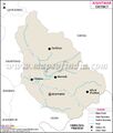 Kishtwar-district-map.jpg 600 × 708; 62 KB
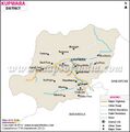 Kupwara-district-map.jpg 600 × 606; 59 KB
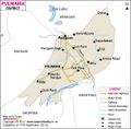 Pulwama-district-map.jpg 600 × 590; 70 KB
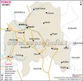 Punch-district-map.jpg 600 × 587; 72 KB
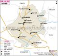 Rajouri-district-map.jpg 600 × 582; 78 KB
 Ramban-district-map.jpg 600 × 582; 68 KB
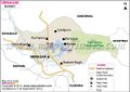 Srinagar-district-map.jpg 600 × 423; 56 KB
 Udhampur-distric-map.jpg 600 × 511; 63 KB


