Sogam
| Author:Laxman Burdak, IFS (Retd.) |
Sogam (सुगम) is a village in Kupwara tahsil in Kupwara district of the Indian union territory of Jammu and Kashmir.
Variants
Location
It is one of the main villages in the Lolab Valley.
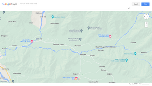
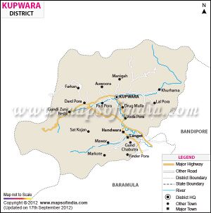
Sogam is a Town in Sogam Block in Kupwara District of Jammu & Kashmir State, India. It is located 11 KM towards East from District head quarters Kupwara. It is a Block head quarter. Sogam Pin code is 193223 and postal head office is Sogam . Sogam B ( KM ) , Sogam ( KM ) , Sogam D ( KM ) , Kandi Bala ( 4 KM ) , Kandi B ( 4 KM ) are the nearby Villages to Sogam. Sogam is surrounded by Tangdar Block towards South , Wavoora Block towards East , Kalarooch Block towards North , Sopore Block towards South.[1]
History
Lolah has three valleys: Kalaroos valley, Potnai valley and the Brunai valley. Enchanting Nagmarg meadows separate Lolab from Bandipore. Sogam is the headquarters of Lolab region. In ancient times Sogam was ruled by a Kotraja and had over hundred villages under its jurisdiction. As per a legend, popular in Lolab, Sogam was so densely populated that a sheep, which climbed the roof of one house, situated at one end of the village, could reach the other end (Zaipora) without having to come down in between. During the rule of chaks, Sogam extended from Kralmiyach to Wovura. The Chak king stayed at Tangchak, near Aramurang. Kalhana refers to a King, who founded town of Lolora (Lolav) and "constructed eighty four lakhs of stone-buildings". There are also references to Damaras of Kamraj, who dug up force in Lolav to avert certain defeat.[2]

