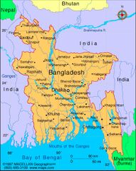
File:Map of Bangladesh.jpg
Jump to navigation
Jump to search
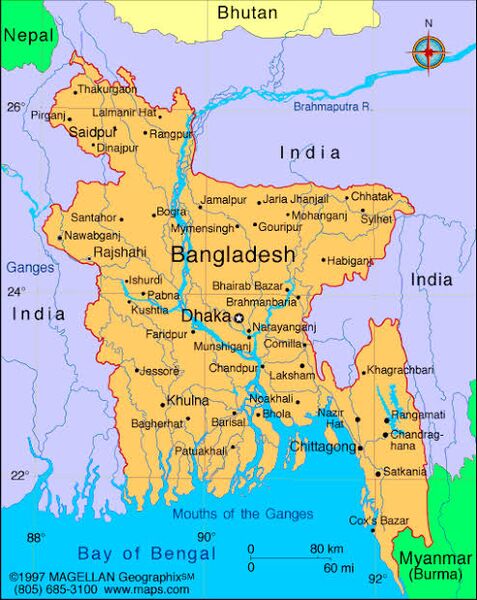
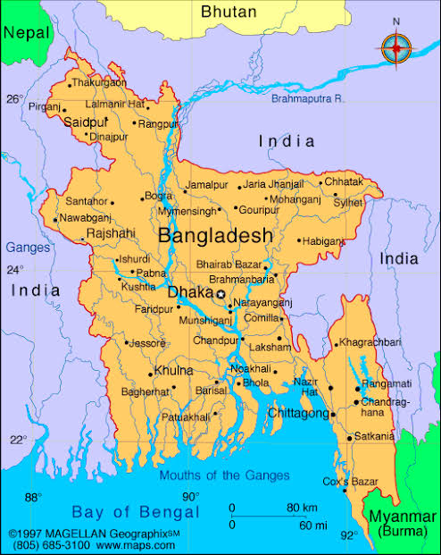
Size of this preview: 477 × 600 pixels. Other resolutions: 191 × 240 pixels | 494 × 621 pixels.
Original file (494 × 621 pixels, file size: 89 KB, MIME type: image/jpeg)
File history
Click on a date/time to view the file as it appeared at that time.
| Date/Time | Thumbnail | Dimensions | User | Comment | |
|---|---|---|---|---|---|
| current | 04:12, 9 January 2020 | | 494 × 621 (89 KB) | Lrburdak (talk | contribs) |
You cannot overwrite this file.
File usage
The following 32 pages use this file:
- Baigram
- Bangladesh
- Brahmaputra
- Chatgaon
- Comilla
- Dhaka Bangladesh
- Dinajpur
- Faridpur Bangladesh
- Gopalganj
- Gunaighar
- Jagaddala
- Jessore
- Kalaikuri
- Kaliganga
- Kamata
- Kantanagara
- Karatoya
- Kotalipara
- Mahasthangarh
- Padma River
- Paharpur Bangladesh
- Panchanagari
- Porsha
- Pundra
- Pundravardhana
- Rajshahi
- Rangamati
- Samatata
- Silhat
- Somapura Mahavihara
- Sonargaon
- Varendra